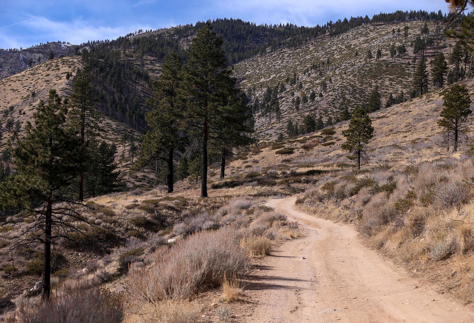
Ash Canyon Road is a scenic outdoor access route and recreation area located on the west side of Carson City, Nevada, climbing into the foothills of the Carson Range just west of the urban area.
This single-lane, unpaved dirt road stretches nearly five miles from the Ash Canyon trailhead near town up toward the Sierra Crest, rising from about 4,900 ft to roughly 8,000 ft in elevation. It serves as the primary public access route to Hobart Reservoir, a popular alpine fishery within Lake Tahoe – Nevada State Park, and provides access into a broad network of trails and open space.
What You Can Do Here
-
Scenic drives and off-road access: The rugged road is enjoyed by hikers, mountain bikers, OHV riders, and high-clearance vehicles — though high-clearance 4×4 vehicles are recommended and seasonal closures apply for safety and road maintenance.
-
Hiking and biking: From Ash Canyon Road you can explore the surrounding trail networks, including connections to the Ash-to-Kings Trail and other single-track routes leading into the Carson Range and U.S. Forest Service lands.
-
Fishing and nature: At the upper end, the approach to Hobart Reservoir offers opportunities for fishing and alpine views, while the surrounding open space is used for wildlife viewing and outdoor adventure.
Location & Access
-
Access begins just west of Carson City, NV — the roadhead is often reached off Foothill Drive near the western edge of town.
-
Parking and amenities: Limited parking is available near the water tanks at the base of the road; there are no services along the route, and the area operates dawn to dusk.
-
Seasonal Notes: The road is typically open from late spring through autumn, but may be closed in winter or due to weather conditions — check Carson City Parks & Open Space updates before visiting.
